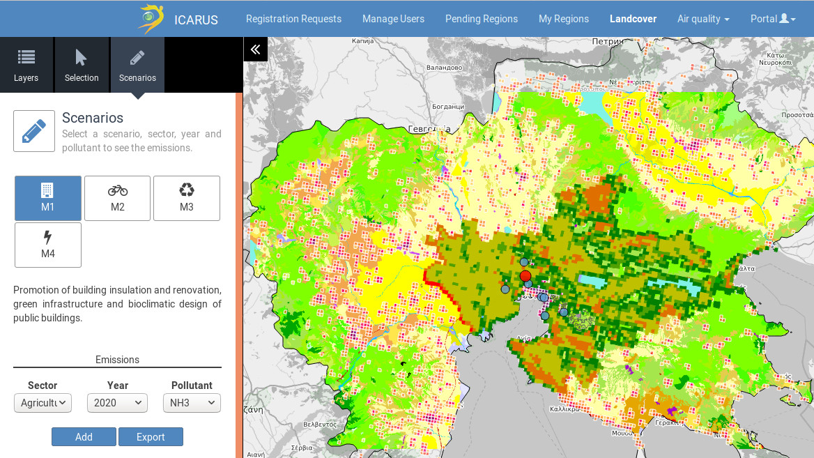
The ICARUS DSS is a powerful analysis tool that enables assessing the impacts on air quality and greenhouse emissions of policy options at the local level. The DSS includes a central geographical Db to store and efficiently manage all the geo-referenced information needed to support integrated impact assessment in support of urban air quality and climate change governance. Data currently stored for the nine ICARUS cities (Athens, Basel, Brno, Ljubljana, Madrid, Milan, Rosklide, Stuttgart and Thessaloniki) include:
- Regional and EU-wide data such as population density
- Land-cover data
- Air pollution levels measured by the ground monitoring networks through an operational link to the EEA AirBase
- Emissions inventories for the BAU scenarios.
- Emission inventories for different city-level policy scenarios for different time horizons up to 2040.
The data are displayed through the WebGIS interface.
By selecting a policy option among the ones stored for each city, users can assess its impact in terms of emission and pollution levels changes in the city over a temporal horizon up to 2040 allowing to quantify and compare potential benefits of different policy measures.