
Result description
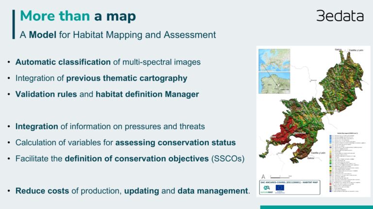
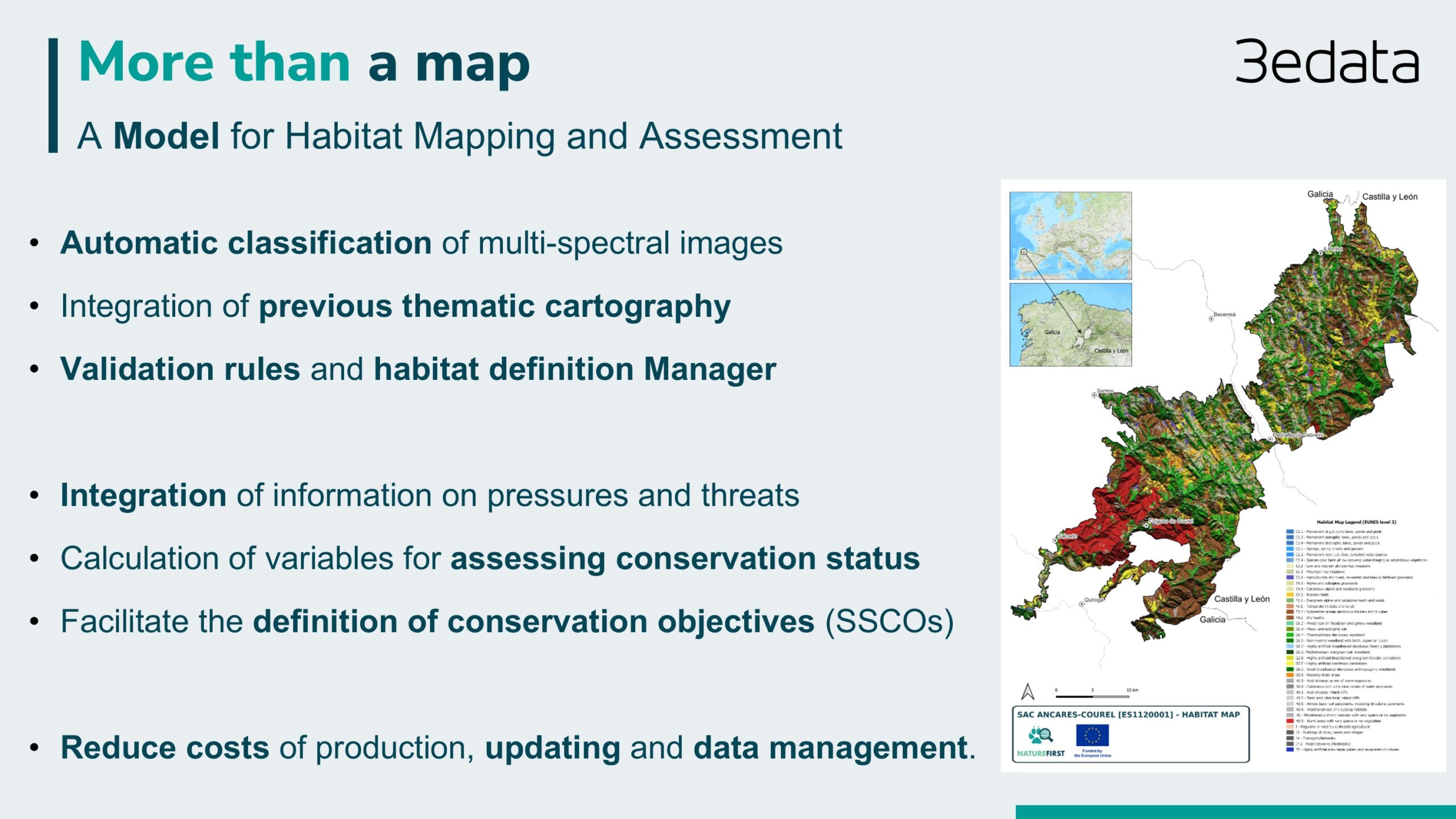
Habitat mapping; a product to map Natura 2000 protected habitats at lower cost through automation. Flexible to different habitat classification or land cover, and different resolution products.
Our main value to the customer is:
- Habitat mapping of a territory (EUNIS habitat classes and correlation with habitats of community of interest. It can also generate land use and land cover maps).
- Lower cost in mapping generation.
- Less time in mapping generation.
- Lower cost and time in updating the cartography.
- Contrasted quality.
- Multiscale and multisource (High or Very High Resolution Images)
- Incorporating local knowledge to the model
- Coherence: integrating needed and pre-existing cartographies into the final product .
- Adaptability: the model can be adapted to specific conditions of a specific region or protected area.
- Associated data model: ability to integrate other environmental data for assessment of conservation status like impacts, in situ monitoring, etc.
User: The tool is developed and demonstrated for i.a. the Galician government in Ancares-Courel.
Impact: Improving management of a protected area, key data for preparing management plans and for processing permits and impact assessment studies.
Addressing target audiences and expressing needs
- To raise awareness and possibly influence policy
A more effective control regarding the implementation of the Habitats and Birds Directives is needed, focusing on the quality of the data provided for monitoring the conservation status of key biodiversity elements. This should also link to the EU Restoration Law.
- Public or private funding institutions
- EU and Member State Policy-makers
- Private Investors
R&D, Technology and Innovation aspects
The Habitat Mapping Model is already available, having been successfully tested in various EU countries, within the EU (EUNIS habitat classes and Habitats of Community Interest), and in Zambia for land cover classes.
Next steps: Providing our service to public institutions and other organizations. Extending our habitat mapping model approach.
The Habitat Mapping Model can be scaled through a network of collaborators who provide specific knowledge (local knowledge) about habitats in the areas where the service is provided. Additionally, the Habitat Mapping Model could be developed into a software tool that others can use with their own data.
The system can be applied to any territory, provided that multispectral images are available and that the minimum in-situ data (training areas based on a standardized land cover classification system) can be collected or generated.
The system applies validation rules to the product resulting from an object- or pixel-oriented supervised classification. This versatility in the way it works allows products with different degrees of resolution to be generated according to customer needs (in large territories or in very specific locations).
The proposed system could be licensed for use by others, subject to training and support provided by 3edata.
Once the complete classification system has been implemented and all the rules for converting land cover classes into a typology of habitats according to EUNIS classes have been defined, the process can be replicated to generate new updates of habitat maps whenever new information becomes available (new multispectral images, LiDAR data, improvements in the density and quality of training areas). This has a significant impact on the costs of updating the cartography in a given territory, with the cost of updating the cartography estimated at 35% of the initial cost. However, if it is not considered necessary to update the entire cartography, the system also offers the opportunity to integrate a change control system that detects possible variations in land cover with the temporal resolution allowed by the available images.
Our service is built for sustainability, making it easy to update habitat and land cover maps. It’s also simple to integrate new technologies because the system isn’t tied to specific methods, such as image classificators, that could become outdated in the short to medium term. This makes our Habitat Mapping Model highly adaptable to technological innovation.
- Europe
Result submitted to Horizon Results Platform by 3EDATA INGENIERIA AMBIENTAL SL