Result description
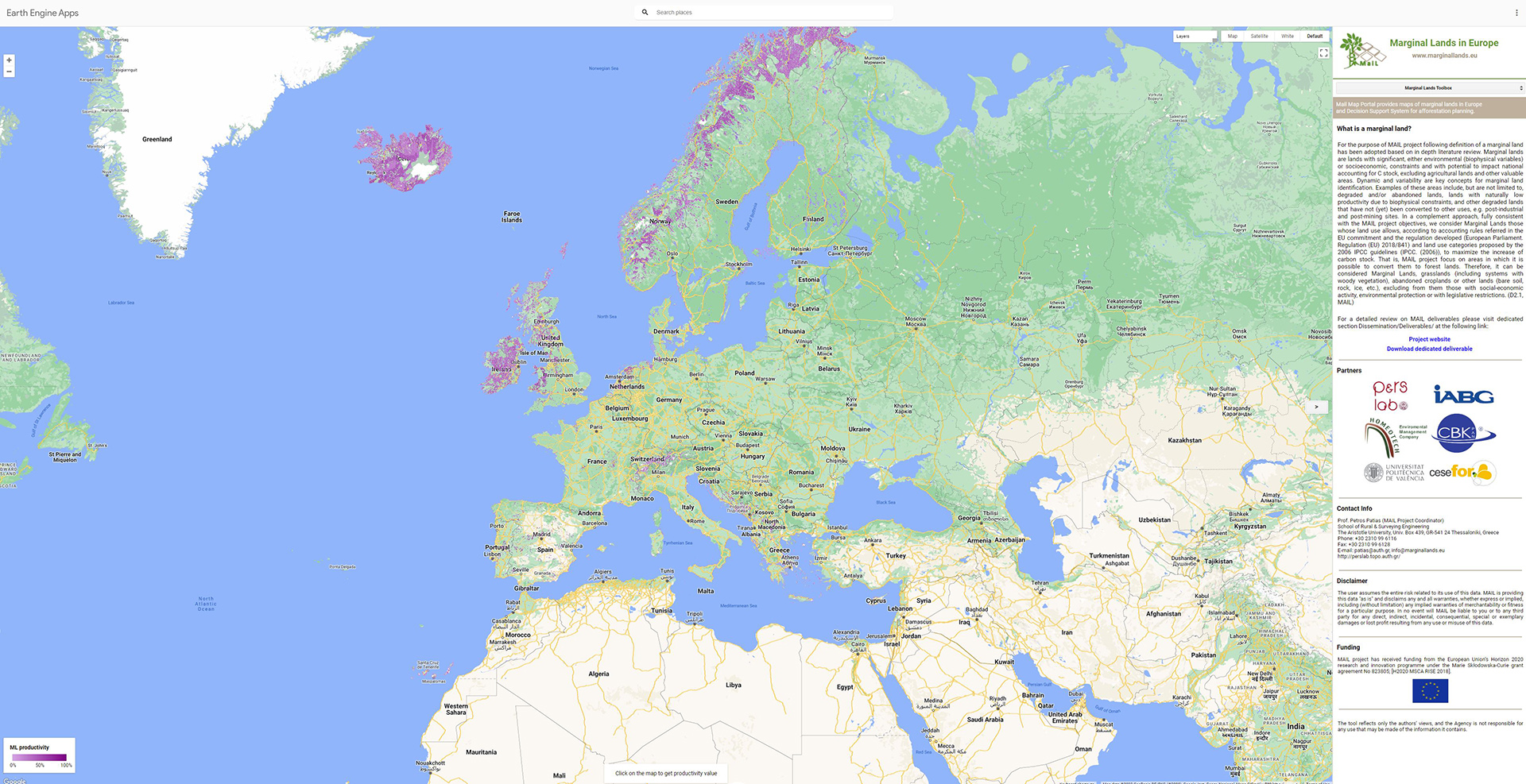
The MAIL geoportal includes the following applications:
Marginal land identification on EU level based on existing open access datasets
A Carbon Sequestration Capacity groups layer
A Decision support system
Identification of marginal lands using satellite images
A multi temporal analysis tool
 Adaptation to climate change